

Marine
AR Navigation System
Model Seri: AR-NAVIGATION-SYSTEM
Kategori: Marine
Hubungi Kami
Konsultasikan kebutuhan radio komunikasi Anda dengan tim teknisi ahli kami secara langsung untuk mendapatkan penawaran terbaik.
OVERVIEW & SPESIFIKASI
AR overlay
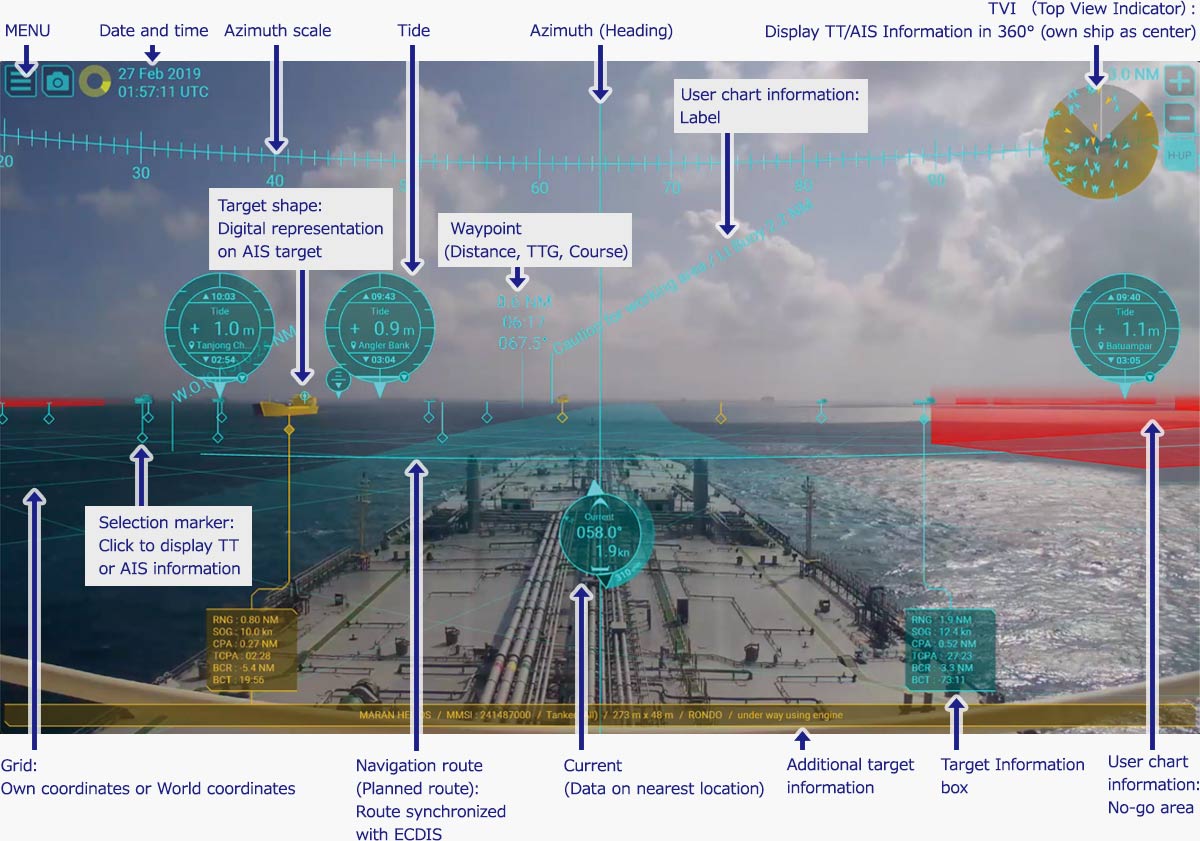
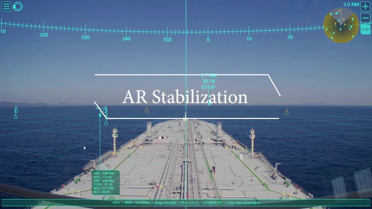
Thanks to a camera pointed forward of the vessel, an image of the front view projects on a display and all the necessary navigation information is superimposed over this live video imagery by FURUNO AR technology.- Azimuth
- AIS
- Heading
- Radar Target Tracking (TT)
- Route
- Waypoint
- User chart & ENC symbols*
- UKHO® ADP current and tide display (option)*
*Connect to ECDIS is required.
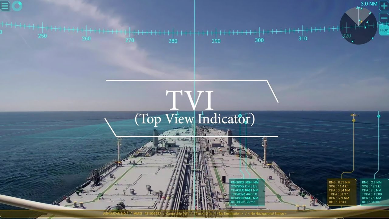
TVI (Top View Indicator)
Displays other ships by either Target Tracking (TT) or AIS in 360 degrees with own ship as center.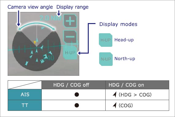
- If the target is out of the viewing angle of the camera, the out-of-view area in the TVI will flash to alert you. *This video has been sped up x20.
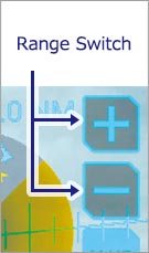
One-click range switching
In congested sea areas with a large number of vessels, it is possible to reduce the number of targets that are displayed by simply changing the range. This function is also very useful for temporarily checking distant targets.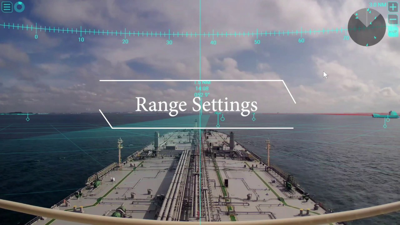
Intuitive color-coded display for targets *
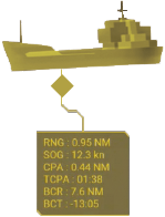
- TVI
- Selective marker
- Main target information frame
- Appended target information frame
- Target shape
Selection marker and Target information box
Other ship information are collected by either TT or AIS are indicated with specific marks. When a mark is clicked, a box containing the information will open.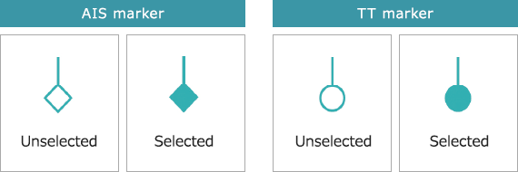
Target shape
By superimposing the graphical virtual shape over AIS targets (virtual buoy, buoy, boat, tanker), it becomes easy to visually grasp the location of dangerous targets and their directions.
 Target shape OFF
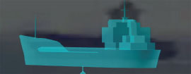 Target shape ON
User can show/hide the information
User can show/hide the information (course to the next waypoint, time to go, distance) for the To way-point on the route.
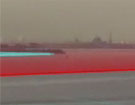 No-go area
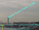 Landmark
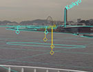 Waypoint information
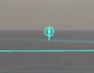 Pilot station
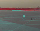 Buoy
Buoy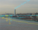 Safety contour
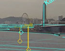 Coastline
Navigation data recording function (option)Coming soon
By recording navigation data to an external USB device*, events during an accident at sea can be analyzed and used as training materials for the crew. *Customer supply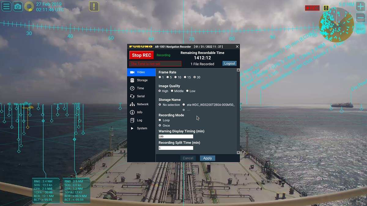
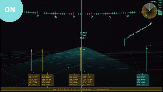
What the eye cannot see
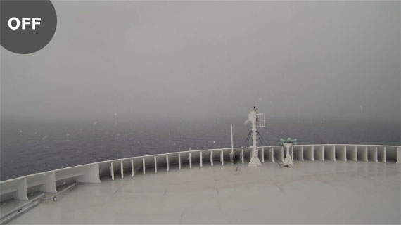
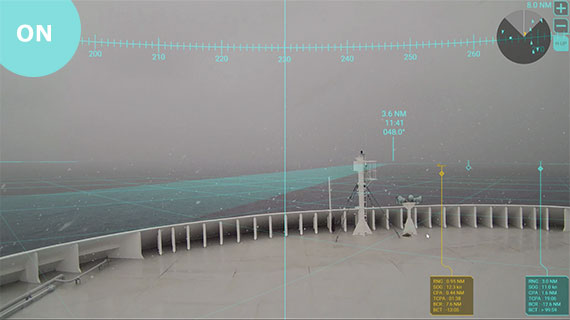
AR information overlaying the screen is particularly useful in poor visibility conditions.AR Navigation ON/OFF Comparison in bad weather conditions
AR Navigation ON/OFF Comparison during nighttime navigation

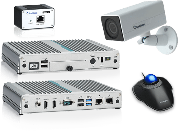
Specifications
| Product name | AR Navigation System |
|---|---|
| Model name | AR-100M |
Processor
| CPU | Intel® Celeron® N3350 2.4 GHZ |
|---|---|
| Memory | 4 GB |
| Display mode | Target Tracking (TT)、AIS, Azimuth, User chart, ENC chart symbol |
| Interface | Ethernet: 2 ports RS-232: 1 port USB USB2.0: 4 ports、USB3.0: 2 ports HDMI: 1 port |
| Power Supply | 100-240 VAC: 0.9-0.4 A, 1 phase, 50-60 Hz |
| Data sentences (IEC61162-1/2) | Input: GGA, GNS, HDT, OSD, RMB, THS, TLB, TTD, TTM, VDM, VDO, VTG, ZDA |
IP camera
| Resolution | 1920 x 1080 |
|---|---|
| Frame rate | 25 fps |
| Video Compressio | H.264 codec |
| Source | PoE Adapter |
PoE Adapter
| Power Supply | 100-240 VAC: 0.2-0.08 A, 1 phase, 50/60 Hz |
|---|
Monitor (option)
| Resolution | 1920 x 1080 |
|---|
Navigation Recorder (option)
| Recording data format | mp4*/jpeg *Audio data not available |
|---|---|
| Recording duration | Depending on the available size of the storage device, 2 TB can store up to 720 hours of data. |
Standard Equipment list
- Processor
- IP camera(Visible light camera)
- PoE Adapter
- Trackball mouse
- ENC dongle*
- Installation materials (HDMI cable 5 m, LAN cable 10 m x2 /2 m, USB cable 5 m x2, Processor mount kit, IP camera bracket, Screws for bracket・Washer, Aseismic mat for installing POE Adapter)
Interconnection Diagram
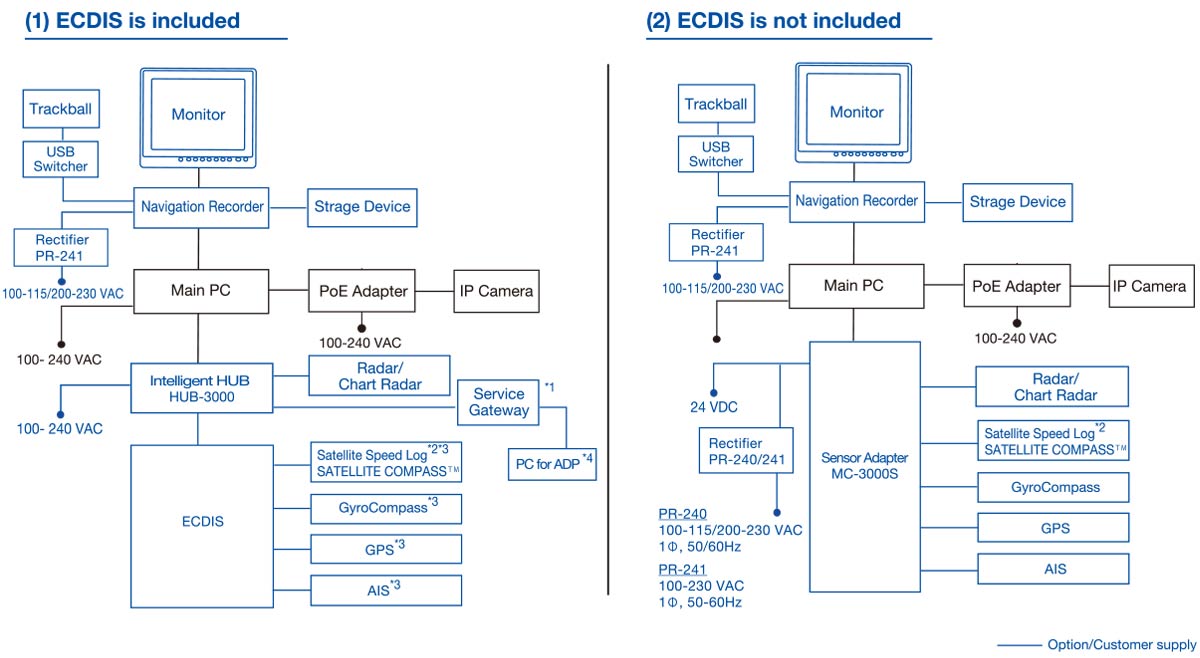
Compatible equipment
| ECDIS | FM-3100*1, FMD-3200/3300*1, FMD-3005*1 |
|---|---|
| Radar | FAR-14x7 series*2, FAR-15x8 series, FAR-2xx7 series, FAR-2xx8 series |
| Chart Radar | FAR-3000 series, FAR-3005 series |
| Satellite CompassTM | SC-30, SC-33, SC-50, SC-70, SC-110, SC-130, SCX-21 |
| Satelite Speed Log | GS-100 |
| AIS | FA-30, FA-40, FA-50, FA-60, FA-70, FA-150, FA-170 |
| GPS | GP-33, GP-39, GP-150, GP-170, GP-3500/3500F, GP-3700/3700F |
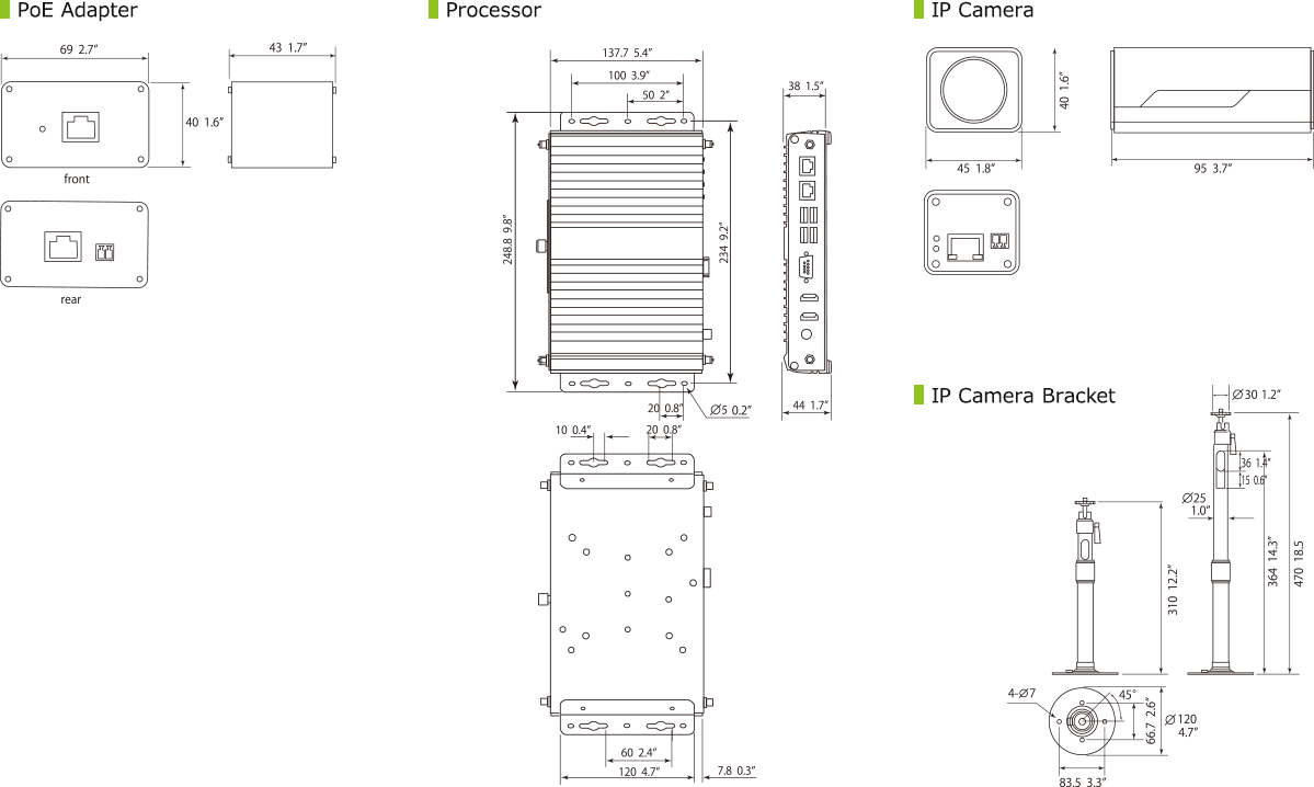
Drawing
Certification

The AR navigation system has been certified as an
"Innovation Endorsement for Products & Solutions"
by ClassNK (Nippon Kaiji Kyokai) for its innovative technology.
"Innovation Endorsement for Products & Solutions"
by ClassNK (Nippon Kaiji Kyokai) for its innovative technology.
Documentation

More from Marine
Produk Serupa

ICOM IC-M802 HF Marine Transceiver
Detail & Spesifikasi
ICOM IC-M802 General Version HF Marine Transceiver
Detail & Spesifikasi
ICOM IC-M73
Detail & Spesifikasi
ICOM IC-M37
Detail & Spesifikasi
×
![]()
AR Navigation System